Search
The Clarence Canoe and Kayak Trail: longest whitewater trail in Australia
Things To Do Nymboida, Clarence Valley, New South Wales
National Parks and Reserves
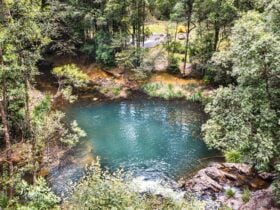
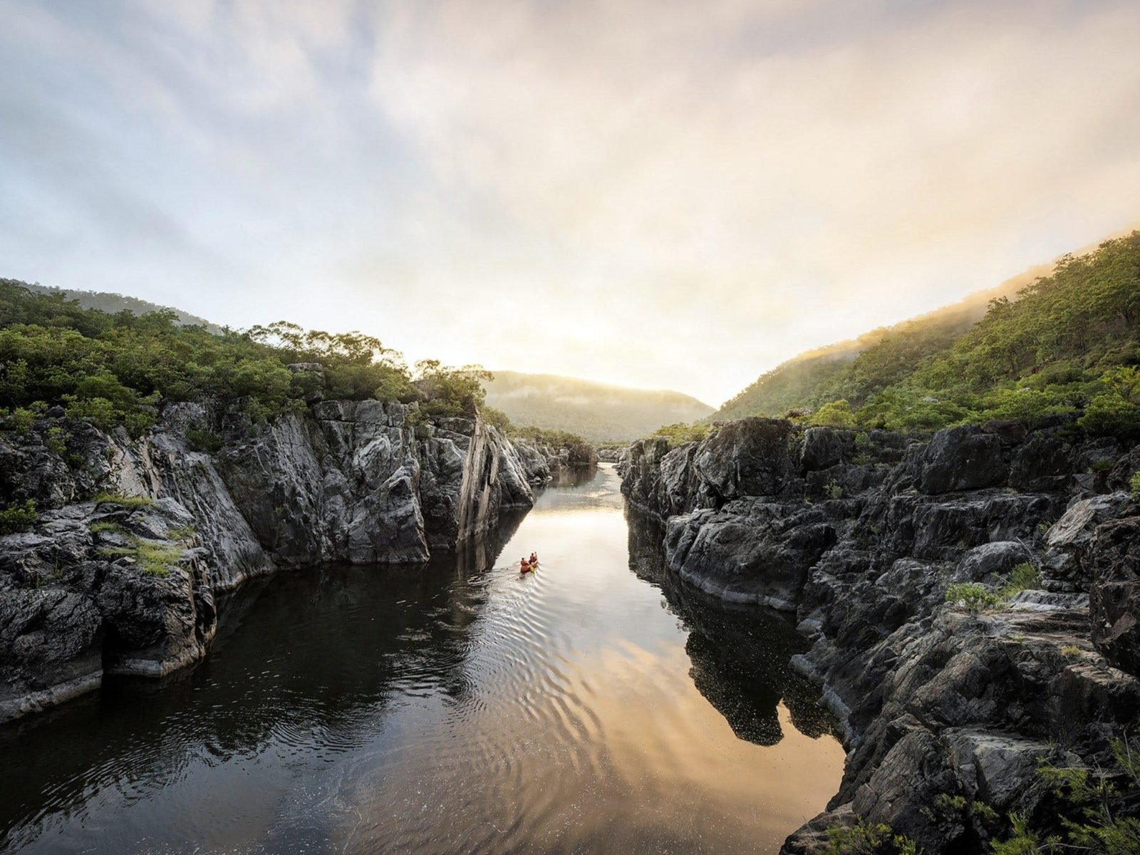
Covering more than 195 kilometres of river between Nymboi-Binderay National Park and the township of Copmanhurst, the Clarence Canoe and Kayak Trail is officially New South Wales’ greatest hidden gem (and Australia’s longest mapped whitewater trail). Combining three wild river systems; the Nymbodia, Mann and Clarence, there is something to please all paddling palates across the eight map sections whether you’re into bone-rattling rapids or zen-like cruising.
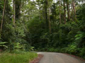
The trail can be completed in day sections or as one long adventure with primitive camping grounds along the route. Find a local guide to experience the trail with ease.
Sections:
The Junction – Cartmill Park.
Intermediate. Grade 2-3. (24km)
Cartmill Park – Buccarumbi.
Intermediate. Grade 2. (28km)
Buccarumbi – Nymboida River Campground.
Intermediate. Grade 2 (22km)
Nymboida River Campground – Jackadgery
Experienced. Grade 3-4 (23km)
Jackadgery – Cangai Broadwater
Novice/Internediate. Grade 2 (27km)
Cangai Broadwater – The Gorge
Intermediate. Grade 2 (22km)
The Gorge – Winegrove
Intermediate. Grade 2 (30km)
Winegrove – Copmanhurst.
Novice. Grade 1 (20km)

Facilities
Caravan / Camper Trailer / Campervan Sites / Campsites
Lookouts
Picnic Area
Public Toilet
Activities
Birdwatching Camping Canoeing/Kayaking Fishing Four Wheel Driving Hiking Swimming WalksMembership
Regional Tourist/Tourism Association/OrganisationRates
Free Entry