Search
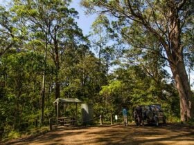
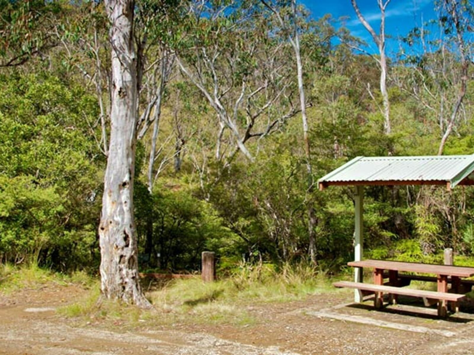
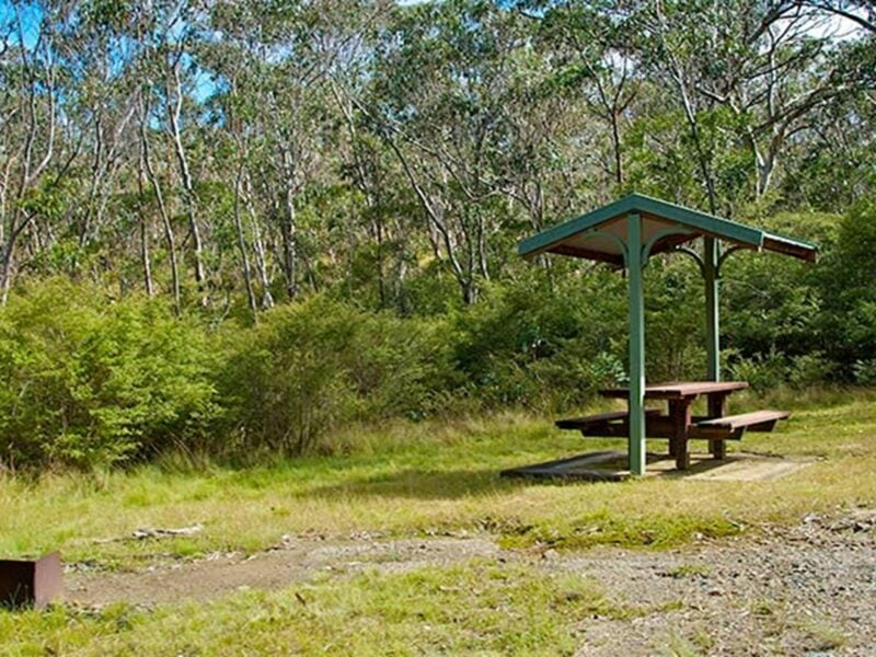
Gloucester Tops picnic area
Things To Do Gloucester Tops, Mid-Coast, New South Wales
Natural Attractions
If you’re looking for a relaxing and refreshing day out head to Gloucester Tops picnic area. Not far from Gloucester, it’s a great base for exploring the unbelievably beautiful walks in the eastern part of Barrington Tops National Park.
Choose from the easy Gloucester Falls walking track or River walking track or try the Antarctic Beech Forest walking track. If you’re after a longer walk, you can combine all three together to make the Gloucester Tops circuit that will take around 4 hours to complete. You’re bound to enjoy the scenery and be sure to keep an eye out for some of the park’s resident birds.
The picnic area has tables so make sure you bring some tasty lunch to enjoy before or after a stroll in the park.
Take a virtual tour of Gloucester Tops picnic area captured with Google Street View Trekker.
Facilities
Carpark
Non Smoking
Picnic Area
Disabled Assistance
Disabled access available