Belyuen Shire’s administrative area is centered on the mostly Indigenous community of Belyuen. It is located 128km from Darwin (by road ) and lies on the eastern side of Cox Peninsula, approximately 20km south of Mandorah. There is a ferry service from Darwin to Wagait daily as an alternative route. Belyuen takes its name from a nearby waterhole known by that name. It was known officially as Delissaville prior to 1975.
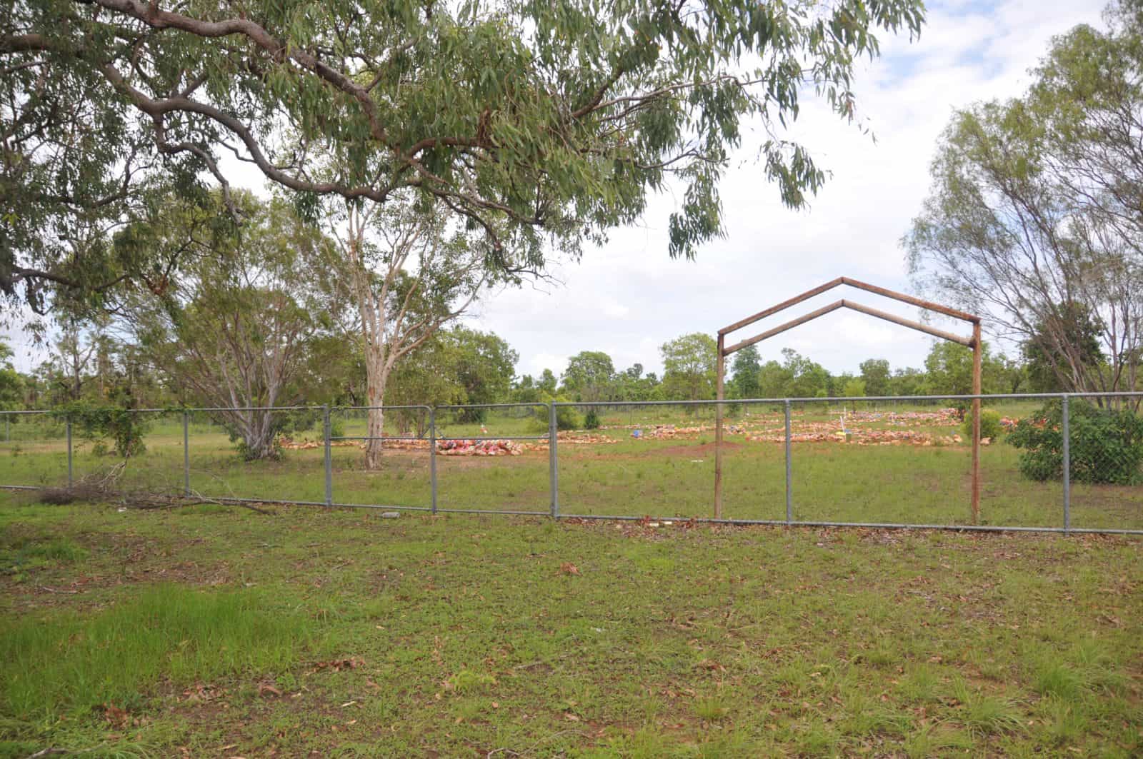
The Delissaville Cemetery, located at in Belyuen is of heritage significance to the Territory as a uniquely Aboriginal cemetery extending for a period of over 60 years. The cemetery holds high significance for the Belyuen, Larrakia and wider Aboriginal communities for spiritual, social and religious reasons.
Quick Facts
The Belyuen area is a local government area (LGA) in Northern Territory. This area is home to 12 locations and/or suburbs which you can explore in more detail by selecting from the list below. The Belyuen area is located approximately 18kms from the capital Darwin.
If you are planning a visit to this area we’ve put together some of the things you can see or do while you are here. These include, places to stay, tours and attractions, some upcoming events and places where you can grab a meal. Go ahead, try one ofthe buttons above. Every destination has something worth seeing so start exploring… If you know the area and think we’ve missed something, let us know and we’ll share it here.