Search
Chauvel’s Border Light Horse Trail
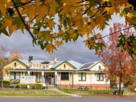
Things To Do Corryong, Towong, Victoria
Historical Sites and Heritage Locations
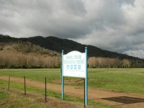
The Chauvel Border Light Horse Trail has been developed to allow Australians to explore the commemorative monuments and artwork that acknowledge the contribution and sacrifices of the Australian Light Horse from the Boer War through to World War Two.
The trail traverses the New South Wales-Victorian border and spans from Shepparton in the south, through the high country and across to Wagga Wagga. There is a physical printed map as well as a digital version that can be downloaded. The trail is also visible on Google Maps.
Each monument (or artwork) has a detailed description for the visitor to provide context and a background story.

Rates
Free Entry