Search
Smartreka Digital Maps – Wadjemup Rottnest Island
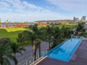
Tourist Information & Services Crawley, Perth, Western Australia
Tourism Applications
Explore Wadjemup Bidi with ease using Smartreka.
Smartreka brings digital navigation to the Wadjemup Bidi, a network of trails showcasing the island’s breathtaking coastal headlands, tranquil inland lakes, and iconic attractions.
Using built-in GPS capabilities on smartphones or tablets to plot real-time location, the maps make it easier to navigate. If downloaded ahead of your trip while network access is available, this can be done without a network connection and without roaming charges. Maps include information on access, parking, toilets and other facilities, trails, camping and picnic areas, lookouts, swimming areas, roads, tracks and safety information.
Explore the 45 kilometres of pristine bushland and hiking trails with confidence. Let Smartreka guide you through your next Wadjemup adventure!
Smartreka maps are also available for:
Cape Le Grand, Cape Range, D’Entrecasteaux, Dryandra Woodland, Fitzgerald River, Francois Peron, Kalbarri, Karijini, Kennedy Range, Lane Poole Reserve, Leeuwin-Naturaliste, Millstream Chichester, Mount Augustus, Porongurup, Purnululu, Shannon, Stirling Range, Stokes, Torndirrup, Walpole-Nornalup, Walyunga, Wellington, Yalgorup and Yanchep national parks.
The interactive Smartreka maps can be accessed through the free Avenza Map App available on the Google Play Store and the Apple iStore.