Search
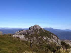
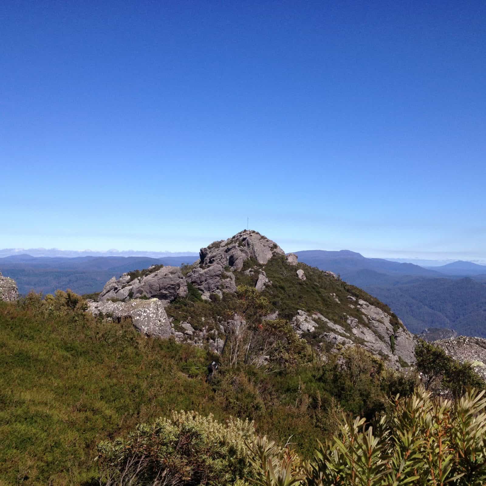
Mount Claude
Things To Do Gowrie Park, Kentish, Tasmania
National Parks and Reserves
Two walks for fit walkers: two hours return from Olivers Road and four to six hours return from O’Neills Road.
Similar 360-degree panoramic views to those from Mt Roland and Mt Van Dyke. From Claude Road village, follow Olivers Road for about four kilometres to the disused quarry. The walk starts along the gravel track and takes about 40 minutes to the transmitter towers, near the summit, where a marked track leads into a steep gully. Near the base is a right turn to the true summit.
From O’Neill’s Road car park, Claude Road village (see Mt Roland walk) follow the main track for Mt Roland to the intersection, turn right and follow the track to the summit.
Facilities
Carpark
Picnic Area
Rates
Free Entry