Search
The Three Peaks
Things To Do Gowrie Park, Kentish, Tasmania
National Parks and Reserves
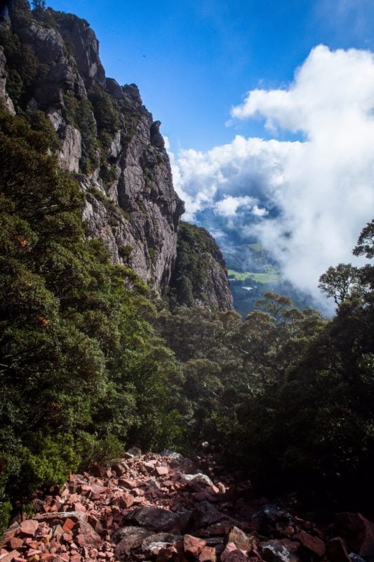
Mount Roland Range comprises three peaks: Mount Roland (1234 m), Mt Van Dyke (1084 m) and Mt Claude (1034 m). Various paths enable walks to the summits but one track enables walkers to traverse all three. It takes about 11 hours one way.
Given the length of the walk, it is recommended to walk from one car, at the Mt Claude end off Olivers Rd, and walk to another at either O’Neills Creek or Kings Rd, depending on which descent is taken off Mt Roland. Start the walk at the Mt Claude end, which is via a service road opposite the lookout on the summit of Round Mountain.
Continue east and descend off Mt Van Dyke to Gowrie Park, or off Mount Roland to Kings Rd.
Note, the Face Track off Mt Roland is steep and at times slippery.
Facilities
Carpark
Picnic Area
Public Toilet
Activities
Abseiling Hiking Rock ClimbingDisabled Assistance
Caters for hearing impairmentRates
Free Entry